
When NOAA's National Ocean Service confirmed that tropical Pacific temperatures have shifted away from neutral conditions, meteorologists around the world stopped guessing and started preparing. The El Niño-Southern Oscillation (ENSO) cycle has swung back toward its warmer phase, meaning the weather patterns we've grown accustomed to are about to get a serious rewrite.
Here's the thing: this isn't just a technicality for climate nerds. It's the difference between a dry winter in California and a flood emergency in Florida. It determines whether farmers in southern Africa harvest corn or dust. And right now, the signals are loud and clear.
The Mechanics of a Global Mood Swing
To understand why your local forecast is suddenly looking chaotic, you have to look at the Pacific Ocean. Think of it as a giant bathtub. Normally, trade winds blow westward along the equator, pushing warm surface water toward Asia. Cold, nutrient-rich water rises up from the depths off the coast of South America to replace it—a process called upwelling.
But during an El Niño event, those trade winds weaken. That pile of warm water sloshes back east, toward the Americas. This shift might sound minor, but it fundamentally alters the jet stream—the high-altitude river of air that dictates our weather. During El Niño, the Pacific jet stream moves south. During its opposite phase, La Niña, the winds strengthen, pushing warm water further west and pulling the jet stream north.
These phases typically last nine to 12 months, though they can linger for years. They don't follow a strict calendar, appearing every two to seven years on average. Generally, El Niño shows up more often than its cooler counterpart.
North America: A Tale of Two Coasts
If you live in the northern United States or Canada, brace yourself for a drier, warmer winter than usual. The southward-shifted jet stream bypasses these regions, leaving them relatively calm. But wait—things get messy down south.
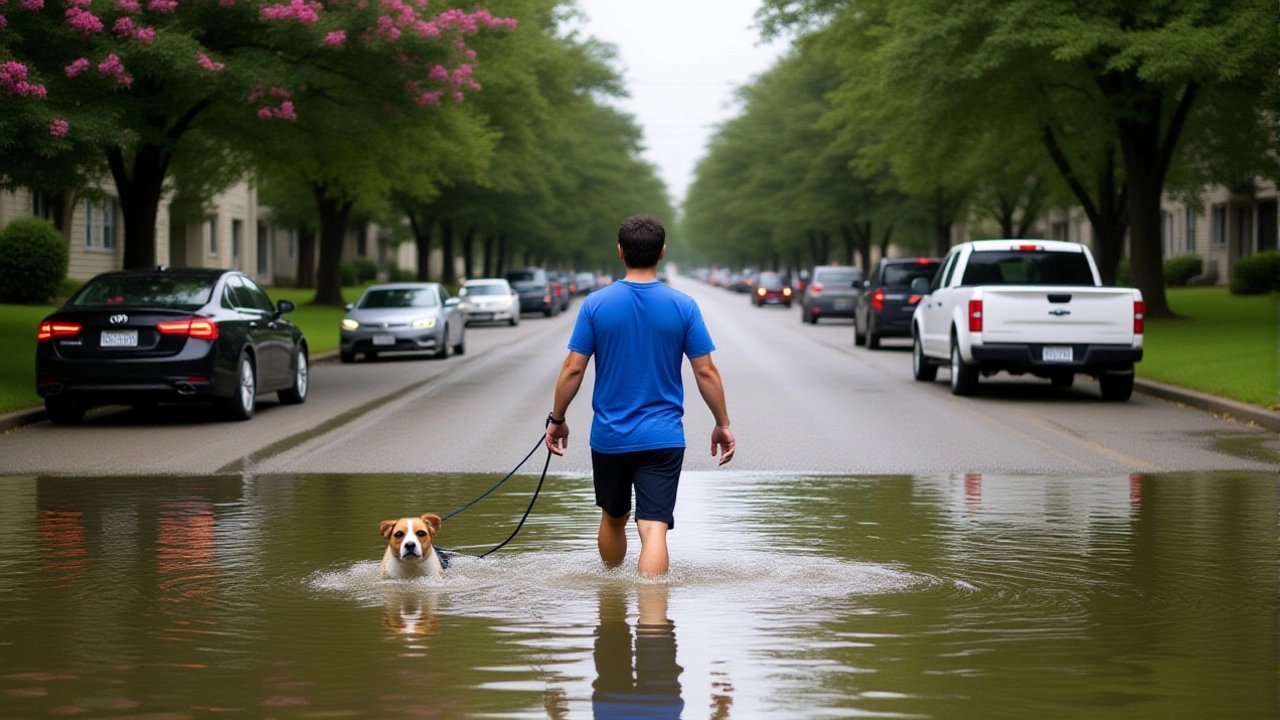
For the U.S. Gulf Coast and Southeast, El Niño means wetter-than-average conditions with increased flooding risks. The National Weather Service notes that Florida specifically sees above-average precipitation from fall through spring. This extra rain reduces wildfire risk but spikes the threat of severe storms.
Turns out, tornadoes love this setup too. Historical data from NOAA's Storm Data (1950–2009) shows that El Niño years produce about 15 tornadoes per year in the relevant southeastern regions—nearly twice the frequency seen during neutral or La Niña years. Meanwhile, Atlantic hurricane activity tends to drop due to increased vertical wind shear, which tears developing storms apart.
Global Ripple Effects and Human Costs
The impact doesn't stop at American borders. In fact, the human toll is often highest thousands of miles away. The humanitarian organization Welthungerhilfe highlights that both the 2015/2016 and 2023/2024 El Niño events affected more than 60 million people worldwide. These weren't just bad weather days; they were crises involving droughts, floods, and skyrocketing food prices.
In South America, countries like Peru, Ecuador, and northern Chile face expected flooding. Brazil and Uruguay also see heavy rain potential. Conversely, southern Africa and Australia typically develop severe droughts and heatwaves. The "maize belt" in southern Africa, critical for global grain supplies, often suffers under these dry conditions.
Asia feels it differently. The Philippines usually endures a very dry winter (November–February), while Japan experiences warmer temperatures with fewer cold snaps. Eastern China may see wetter conditions, but much of the region braces for heat.
What Experts Are Saying Now
Forecasters are watching the Nino 3.4 region closely. When sea surface temperatures there hit half a degree Celsius above normal, El Niño is officially declared. Recent analysis suggests a highly active subtropical jet stream will transport moisture from California through the Southwest into the Deep South.
"Confidence is high," one weather analyst noted regarding the upcoming impacts. Models indicate drought conditions could expand in certain regions through December and January, while others prepare for deluge-level rainfall. The key takeaway? Volatility. Expect extremes.

Background: From Neutral to Extreme
Just recently, the tropical Pacific was in a neutral state after a brief La Niña episode ended. NOAA Climate.gov reported that neutral conditions persisted through the Northern Hemisphere summer and likely into fall. Without strong ENSO patterns driving the atmosphere, predicting seasonal shifts becomes much harder. But now that the pendulum has swung back, predictability returns—with a vengeance.
Frequently Asked Questions
How does El Niño affect hurricane season?
El Niño generally suppresses Atlantic hurricane activity. The shifting jet stream increases vertical wind shear over the Atlantic basin, which disrupts the formation and intensification of tropical storms. However, it can increase storminess and tornado risks in the southeastern United States.
Why is El Niño named "Little Boy"?
The name comes from Spanish fishermen off the coast of Peru who noticed the warming waters appeared around Christmas time. They named it after the Christ Child (El Niño). Its cooler counterpart, La Niña, means "Little Girl."
What happens to marine life during these events?
During La Niña, increased upwelling brings cold, nutrient-rich water to the surface, supporting abundant marine life like salmon and squid. During El Niño, warmer waters reduce nutrient availability, which can disrupt fishing industries and local ecosystems.
How long do El Niño events typically last?
Episodes usually last between nine and 12 months, though they can occasionally persist for years. They tend to peak during the winter months in the Northern Hemisphere, making that period the most impactful for weather disruptions.
Is El Niño getting worse due to climate change?
While scientists debate the exact link, many experts believe that background global warming amplifies the intensity of El Niño events. Warmer baseline ocean temperatures mean that when El Niño hits, the anomalies are hotter, potentially leading to more extreme weather outcomes.